 Saginaw Bay
Au Gres Boat Launch 44° 02' 36" N
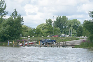
There's plenty of parking at the Au Gres DNR run boat launch
located just in from the mouth of the Au Gres River.
With 6 concrete ramps and loading docks it doesn't take long to
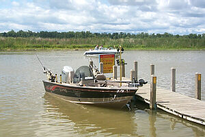
get on and off Saginaw Bay. The photos top show the entrance
to the Au Gres Channel, and the channel lights are a big help at night.
Try straight out about 5 miles between Point Au Gres and Lookout Point
in 40 feet of water for nice summer walleyes. Hot & Tot's 60 to
100 foot back or a crawler harness with 2oz clip weight at 40 foot, 100 foot back.
Very the depths to find were they are suspended.
|


